

Alsergrund and Josefstadt are neighbouring districts in Vienna, with Alser Straße providing a useful starting point for getting around these Vienna neighborhoods. The area combines district history with access to local transit, Schönbornpark and venues such as Metropol.
- Alsergrund is Vienna’s 9th municipal district; Josefstadt is the 8th.
- Alser Straße is a station on the U6 line.
- Schönbornpark is a local green space in the neighbourhood.
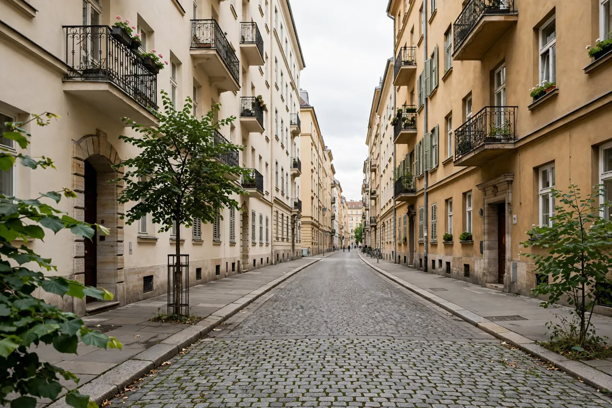
Finding the hotel’s neighbourhood
Alsergrund and Josefstadt are separate municipal districts on Vienna’s central side. Alsergrund is the 9th district, while Josefstadt is the 8th, giving you two distinct areas to orient yourself around Alser Straße.
Alsergrund extends along the Danube Canal from the centre towards the north. The district’s name comes from the Als stream, also known as Alsbach or Alsterbach; a document from 1044 records the name. Seven former suburbs were combined and incorporated into Alsergrund in 1850, and its present boundaries were established in 1905.
Josefstadt has a different origin story: the city purchased the area in 1700 and named it Josephstadt in honour of Crown Prince Joseph, later Holy Roman Emperor Joseph I. These histories help explain why a short neighbourhood walk can cross between districts with different names and pasts.
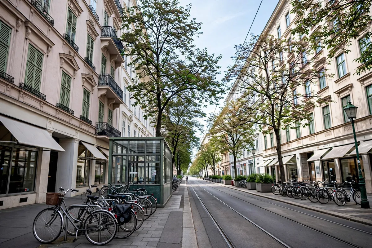
A short walk around Alser Straße
Alser Straße is a practical starting point for exploring the surrounding streets and connecting to the U6. The station is on a line that runs between Siebenhirten and Floridsdorf, linking this part of Vienna with destinations along the route.
From the station, you can set out toward nearby landmarks and parks on foot. For the wider network and how to plan connections, see how to get around Vienna from Alser Straße.
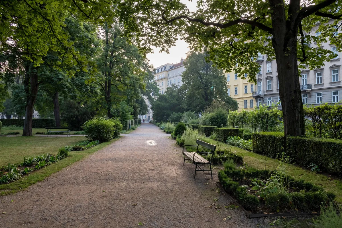
Parks and green spaces nearby
Schönbornpark is a green space to include in a neighbourhood stroll. You can pair a visit to the park with a walk through the surrounding districts, using Alser Straße as a reference point for the return route.
Alser Straße station is about a one-minute walk from a hotel near Alser Straße, making it easy to begin a local outing on foot.
Lore-Segal-Park is another local landmark. The two parks give you options for a short walk in the area without needing to travel to the city centre.
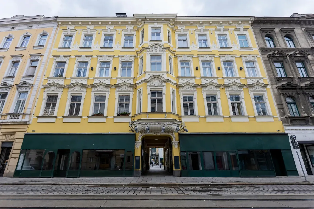
Local stages and historic buildings
Metropol is a nearby venue to include in an evening plan. The Alsergrund timeline also records the opening of the Volksoper in 1898, placing a major stage in the district’s history.
The area’s historic landmarks include the Strudlhofstiege, completed in 1910. Palais Schönborn is another point of interest nearby. For practical details on reaching a performance venue, read how to get to Metropol from Alser Straße.
Getting from the neighbourhood to the centre
The U6 at Alser Straße gives you a public-transport connection from the neighbourhood to Vienna’s city centre, which is also reachable on foot if you want to make the journey part of your day.
If you are planning a day in the old town, how to plan a route from Alser Straße to the old town is a useful starting point. Check the Wiener Linien official site before you go for current public-transport details.
FAQs
Which districts are Alsergrund and Josefstadt?
Alsergrund is Vienna’s 9th municipal district, and Josefstadt is the 8th.
What is the history behind the name Alsergrund?
The name derives from the Als stream, also called Alsbach or Alsterbach. A document from 1044 records the name.
Which U-Bahn line serves Alser Straße?
Alser Straße is a station on the U6 line, which runs between Siebenhirten and Floridsdorf.
What historic landmarks are in Alsergrund?
The Strudlhofstiege was completed in 1910, and the Volksoper opened in 1898.